Fichier:Württemberg-karte pieter-van-den-keere 1619.jpg

Gréisst vun dëser Duerstellung: 800 × 565 Pixel. Aner Opléisungen: 320 × 226 Pixel | 640 × 452 Pixel | 1.024 × 723 Pixel | 1.280 × 903 Pixel | 2.560 × 1.807 Pixel | 4.568 × 3.224 Pixel.
Original Fichier (4.568 × 3.224 Pixel, Fichiersgréisst: 5,99 MB, MIME-Typ: image/jpeg)
Resumé
| Beschreiwung |
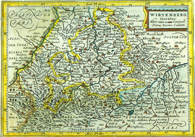
Topographisches Einzelblatt des Herzogtums Württemberg von circa 1619 (Topographical single sheet map of the duchy Württemberg in southern Germany from circa 1619 A.D.) |
|||||||||||||||||||||||||
| Datum |
30. März 2007 (March 30th 2007) |
|||||||||||||||||||||||||
| Quell |
selbst gescannt (self scanned) |
|||||||||||||||||||||||||
| Auteur |
|
|||||||||||||||||||||||||
| Autorisatioun (Dëse Fichier nach eng Kéier benotzen) |
Gemeinfrei "Altes Werk" (Public domain old) |
|||||||||||||||||||||||||
Lizenz
|
Dies ist eine originalgetreue fotografische Reproduktion eines zweidimensionalen Kunstwerks. Das Kunstwerk an sich ist aus dem folgenden Grund gemeinfrei:
Nach offizieller Ansicht der Wikimedia Foundation sind originalgetreue Reproduktionen zweidimensionaler gemeinfreier Werke gemeinfrei. Diese fotografische Reproduktion wird daher auch als gemeinfrei in den Vereinigten Staaten angesehen. Die Verwendung dieser Werke kann in anderen Rechtssystemen verboten oder nur eingeschränkt erlaubt sein. Zu Details siehe Reuse of PD-Art photographs.
| ||||
Versiounen
Klickt op e bestëmmten Zäitpunkt fir déi respektiv Versioun vum Fichier ze kucken.
| Versioun vum | Miniaturbild | Dimensiounen | Benotzer | Bemierkung | |
|---|---|---|---|---|---|
| aktuell | 12:59, 1. Abr. 2007 | | 4.568 × 3.224 (5,99 MB) | Curnen | {{Information |Description= Topographisches Einzelblatt des Herzogstums Württemberg von circa 1619 (Topographical single sheet map of the duchy Württemberg in southern Germany from circa 1619 A.D.) |Source= selbst gescannt (self scanned) |Date= 30. Mä |
Benotze vu Fichieren
Dës Säit benotzt dëse Fichier:
Globaalt Benotze vum Fichier
Dës aner Wikie benotzen dëse Fichier:
- Benotzt op als.wikipedia.org
- Benotzt op ast.wikipedia.org
- Benotzt op de.wikipedia.org
- Benotzt op es.wikipedia.org
- Benotzt op et.wikipedia.org
- Benotzt op fr.wikipedia.org
- Benotzt op id.wikipedia.org
- Benotzt op la.wikipedia.org
- Benotzt op nl.wikipedia.org
- Benotzt op pt.wikipedia.org
- Benotzt op tr.wikipedia.org
- Benotzt op zh.wikipedia.org